
BULLI High School and Waniora Public School next door would be swamped if a land-threat tsunami hit the east coast of Australia, new maps released by the NSW State Emergency Service (NSW SES) show.
The maps show evacuation areas in the event of a tsunami, and reveal that the entire coastline eat of the South Coast Railway between Campbell Street Woonona and Bellambi Lane would be swallowed by a massive eathquake generated wave.
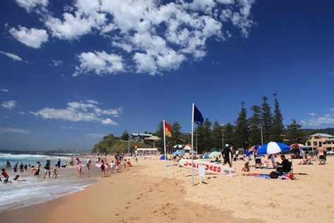
While the likelihood of a tsunami on the east coast of Australia is low, the maps show the areas where residents and workers would have to move to higher ground in the event of a land-threat tsunami.
The evacuation area in the event of a tsunami would also include most of Thirroul east of the railway line, with the exception of McCauley’s Hill.
Minister for Emergency Services David Elliott said the NSW SES is the combat agency for flood, storm and tsunami and the release of the mapping is part of its work to build preparedness and community resilience.

“Importantly, the maps show areas which would be evacuated and not areas which would definitely be inundated with water. Emergency workers will use these maps for further tsunami response planning,” Mr Elliott said.
Marine-threat tsunamis occur once about every six years, but are usually only dangerous to swimmers and boaters because of the dangerous currents. There is no record of a land-threat tsunami in Australia since European settlement.

NSW SES Acting Commissioner Greg Newton said a tsunami could be a series of waves caused by an earthquake, submarine eruptions or coastal landslides.
“If there is a threat of land inundation from a tsunami, move to higher ground at least 10 meters above sea level or, if possible, a kilometer away from the coast and rivers. Be sure to listen to your local radio station for information, warnings and advice,” Acting Commissioner Newton said.
The online maps are available at www.tsunamisafe.com.au. You can enter your postcode to view the area where you live or work and explore other areas that would be evacuated on the NSW coast.


Leave a comment